






The government spent about N$4.76 million to develop the Oshana integrated regional land use plan. The plan will guide land allocation and development in the region for the next 10 years.
The money covered consultancy fees and the hosting and catering costs of community planning workshops held during the development of the plan.
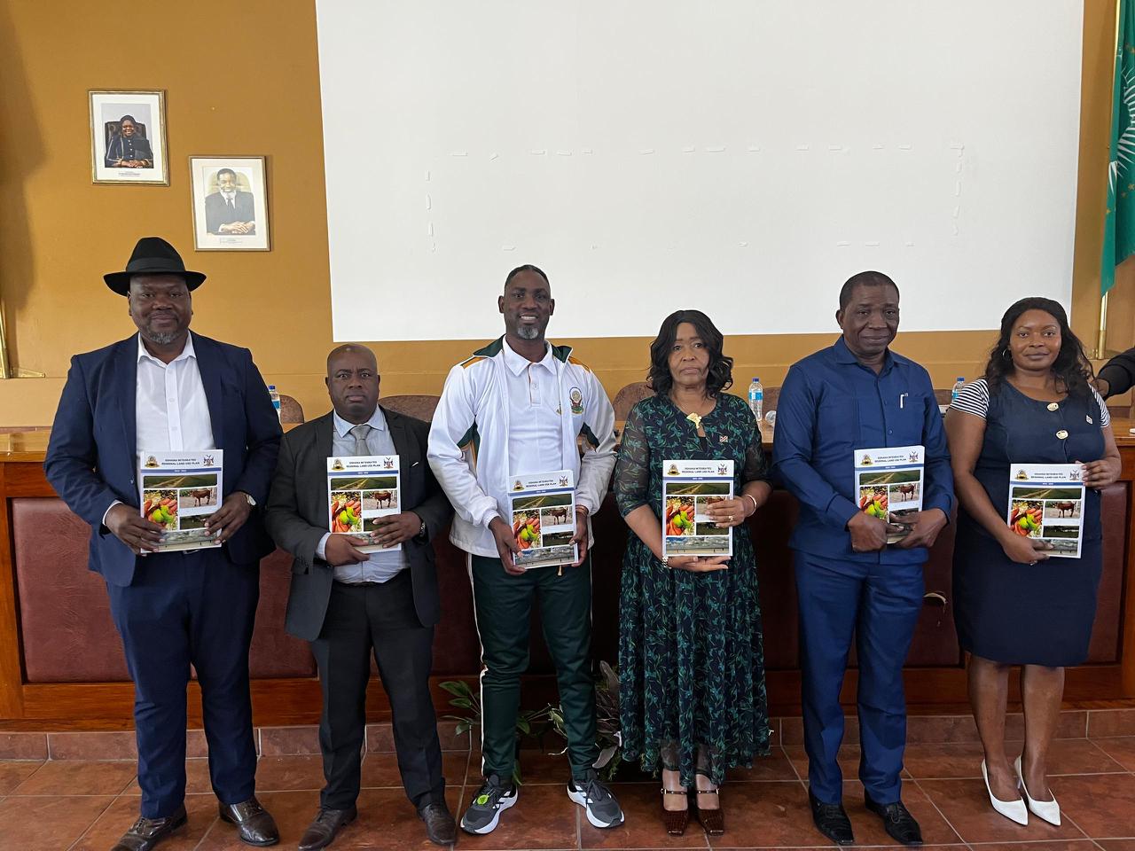
Agriculture, fisheries, water and land reform acting executive director Petrus-Canisius Nangolo revealed the cost during the official handover of the plan to the Oshana Regional Council at Oshakati on Friday.
Nangolo said Namibia started developing integrated regional land-use plans in 1999, but problems were identified with the earlier approach.
“The process was centralised and local communities had little involvement. This discouraged communities from taking ownership of the plans because they felt they had not helped develop them,” he said.
Nangolo said the earlier plans did not take existing sectoral plans into account and did not include strategic environmental assessments.
Nangolo said the plan contains maps showing current and potential land uses across the Oshana region’s constituencies. These maps form the basis of a GIS database that has been handed over to the region for implementation and monitoring.
The ministry will now train Oshana Regional Council officials to use the GIS database, update the plan and monitor developments.
The training will also help officials identify possible land grabbing and unauthorised land allocations.
The regional council will be responsible for monitoring compliance and is expected to budget for this work, while the ministry will provide technical support when needed.
Agriculture, fisheries, water and land reform minister Inge Zaamwani says the plan comes as the Oshana region faces growing pressure on its limited land and natural resources.
Zaamwani says the region must balance these needs with the protection of agricultural land, ecosystems and other natural resources.
“This is the Oshana region’s plan. You helped develop it, and you are now entrusted with its implementation,” Zaamwani says.
Zaamwani has raised concerns about illegal fencing, particularly in the Uuvudhiya area.
She says the plan should help authorities identify and remove illegal fences and protect communal grazing areas.
Zaamwani has also raised concern about land being allocated close to roads, rivers, watercourses, wildlife corridors, schools and other public facilities.
“I urge all stakeholders involved in land allocation to comply fully with the relevant legal framework, including the prescribed buffers from riverbanks and road reserves,” she says.
She warns against developments that interfere with the region’s natural water systems.
“We cannot permit developments that obstruct water flow within the Cuvelai system when the plan seeks to protect the region’s ecology and sustain biodiversity downstream,” she says.
Oshana governor Hofni Iipinge says the plan comes at a time when the region is facing growing demand for land.
Iipinge says much of the Oshana region’s land lies within floodplains, making settlement and land allocation difficult.
Iipinge proposes expanding Lake Oponona to capture and store more of this water.
“Lake Oponona can be improved in becoming a water catchment/dam to harvest water which can complement the available water sources,” he says.
He says an expanded Lake Oponona could potentially supply water to neighbouring regions, particularly the Oshikoto region.
The Oshana region covers about 8 647 square kilometres, making it Namibia’s smallest region by area. It has a population of 230 801, making it the country’s sixth most populated region.
The Oshana region is the eighth region in Namibia to have such a plan developed. Seven of those plans have already been handed over to their regional councils. The ministry is also working to finalise the Oshikoto region’s plan during the current financial year.