






Governor of the Oshana region, Hofni Iipinge, has called for the expansion of Lake Oponona to harvest more water flowing from southern Angola through the region’s floodplains, also known as oshanas.
He said this when he officially accepted the Oshana Regional Land Use Plan (IRLUP) from the minister of agriculture, fisheries, water and land reform, Inge Zaamwani.
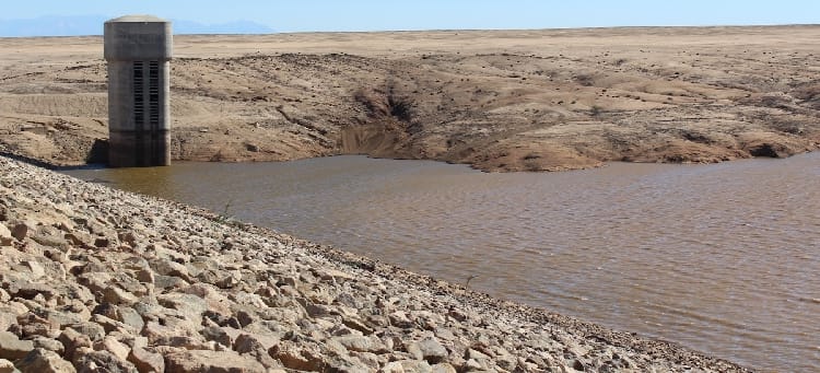
Most floodplains empty into Lake Oponona, the largest natural lake in the Cuvelai Basin, located in the Uuvudhiya constituency in the Oshana region, and about 70km north of the Etosha National Park.
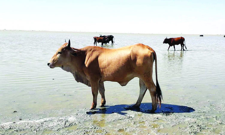
Hundreds of local subsistence farmers in the semi-arid Uuvudhiya area rely on the lake for grazing cattle, water, and fishing.
However, the lake is vulnerable to severe droughts and heavy livestock pressure, occasionally shrinking signifantly during dry cycles.
“If Lake Oponona is expanded to harvest more water, this region can supply neighbouring regions, especially Oshikoto, with water,” he says.
The plan is a 10-year strategic framework developed under a Cabinet directive targeting all 14 regions to balance competing demands for land, manage natural resources sustainably, and guide regional growth.
Zaamwani says the framework must serve as the basis for future land-use allocations and development decisions in the region. “It identifies, among other matters, where towns may expand and where land should be reserved for agriculture, conservation and other uses,” she says.
The minister adds that at the end of the stipulated 10 years, it must be reviewed to assess implementation, evaluate compliance and respond to emerging land-use needs.
She says according to the 2023 census, the population of the Oshana region had grown from 201 363 to 230 801, and this growth, together with the expansion of economic centres such as Oshakati and Ondangwa, increases pressure on limited land and natural resources.
“Industrialisation, construction and infrastructure development require land and raw materials such as gravel, sand and clay. These needs must be managed responsibly and in accordance with a clear, sustainable land-use framework,” the minister says.
She stresses the need to accommodate the orderly expansion of towns and settlements, to conserve ecosystems and manage waste generated by households and economic activities.
“We cannot permit developments that obstruct water flow within the Cuvelai system when the plan seeks to protect the region’s ecology and sustain biodiversity downstream.
“I have also noted instances where land has been allocated too close to roads, rivers, watercourses, wildlife corridors, schools and other public amenities,” she says.
Such allocations may conflict with the Water Resources Management Act.
“I therefore appeal to the traditional authorities and the Communal Land Board to ensure that land allocations conform to the Oshana IRLUP and that communal grazing areas and other commonage are protected,” Zaamwani says.